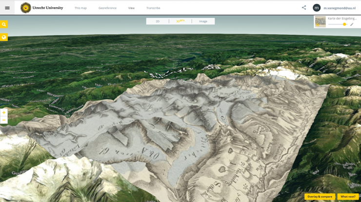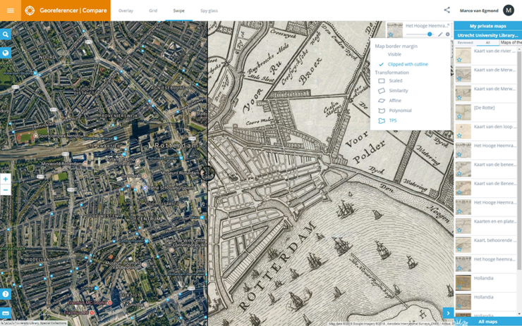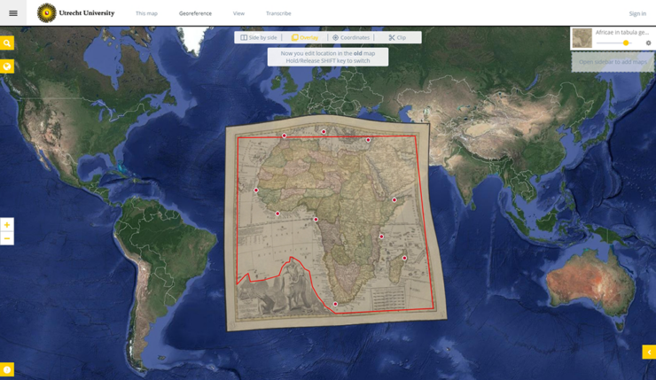
Georeferencing
Georeferencing means comparing old with recent maps by digitally positioning a scan of an old map over a modern reference map. In doing so, the library makes the scanned maps more geographically accessible. In addition, the maps will become more (re)usable, especially for education and research.
The Utrecht University Library has been actively georeferencing parts of its map collection for the past decade, yielding interesting outcomes not only for geosciences but also for language, culture, and history studies. Notable humanities projects utilizing georeferencing applications include Utrecht in perspectief and various Time Machine projects in Amsterdam and Utrecht.
For more detailed information on georeferencing, please refer to this resource. The Utrecht University Library and CDH organize a joint workshop on Georeferencing. Additionally, we also organize organize these workshops on request.